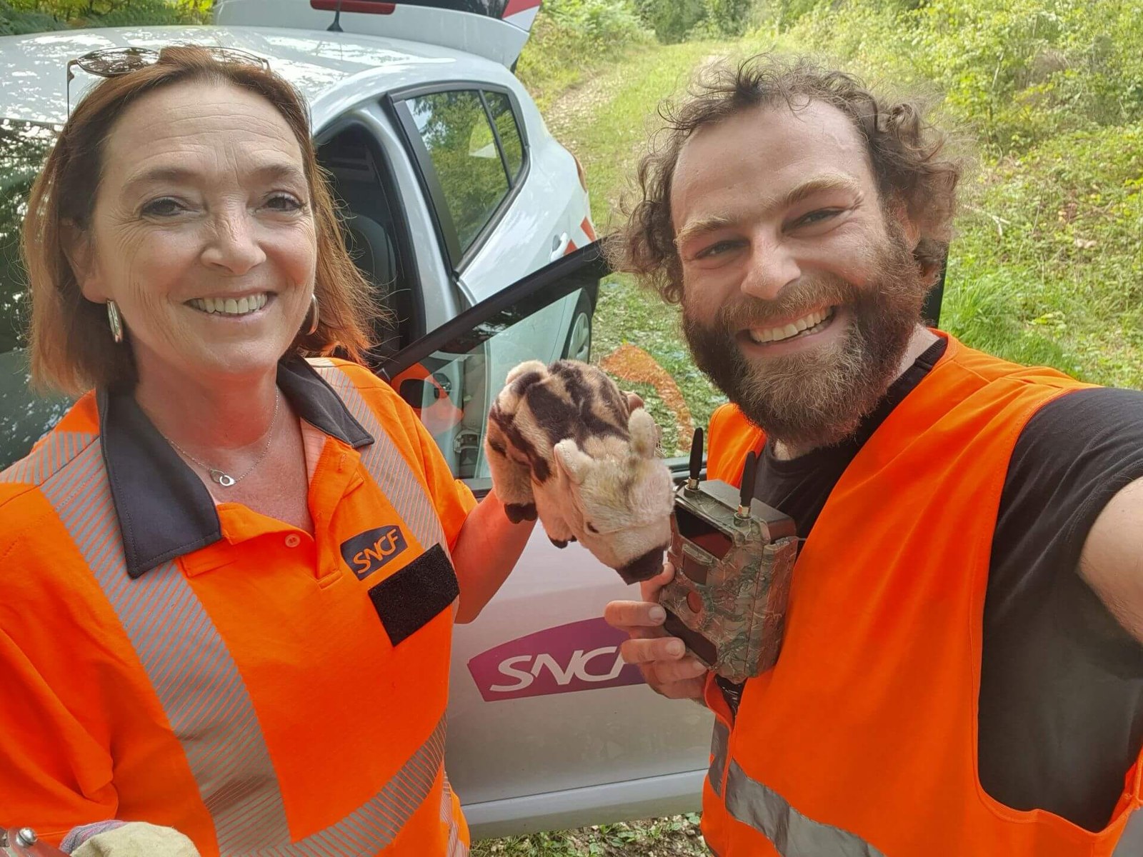
Where wildlife uses habitats close to railway lines, landscape, animal behaviour and transport infrastructure interact. The SNCF project investigates these relationships using satellite time series, environmental and geospatial data, and collision records.
The accompanying camera-trap study adds to this data foundation. The public FHNW article offers a view of the fieldwork and presents image analyses and a project map. It connects work on the ground with model development to support expert assessment of preventive measures.


